 POC 3.12
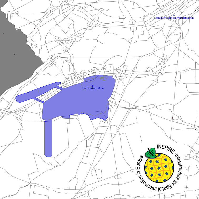
Digitale Landschaftsmodelle
Type of resources
Available actions
Topics
Keywords
Contact for the resource
Provided by
Years
Formats
Representation types
Update frequencies
status
Service types
Scale
-

INSPIRE View Service for CORINE Land Cover – 5ha. This service provides from CORINE Land Cover 5ha (CLC5) transformed datasets for the INSPIRE theme Land Cover. The data provided through this service covers the area of Germany.
-
INSPIRE View Service for CORINE Land Cover – 5ha. This service provides from CORINE Land Cover 5ha (CLC5) transformed datasets for the INSPIRE theme Land Cover. The data provided through this service covers the area of Germany. Scale: 1:250000; Ground resolution: 500m
-
INSPIRE View Service for CORINE Land Cover – 5ha. This service provides from CORINE Land Cover 5ha (CLC5) transformed datasets for the INSPIRE theme Land Cover. The data provided through this service covers the area of Germany.
-

INSPIRE View Service for Statistical Units ATKIS-DLM250. Statistical units of Germany, derived from the german digital landscape model at scale 1:250000. Mapped via EuroBoundaryMap to satisfy INSPIRE conformance. This service is published under the Ordinance to Determine the Conditions for Use for the Provision of Spatial Data of the Federation (GeoNutzV) and thereof free of charge.
-
This service provides from ATKIS DLM250 transformed datasets for the INSPIRE themes Transport Networks, Hydrography (Networks and Physical Water), Administrative Units and Protected Sites. The data provided through this service covers the area of Germany.
-

Darstellungsdienst (WMS) der Geografischen Bezeichnungen aus ATKIS-BasisDLM RP
-
Darstellungsdienst (WMS) Digitales Geländemodell Gitterweite 1m aus ATKIS-BasisDLM
-
Beschreibung des INSPIRE Download Service (predefined Atom): Schienenverkehrsnetz aus ATKIS-BasisDLM RP - Der/die Link(s) für das Herunterladen der Datensätze wird/werden dynamisch aus Download Link aus einem Metadatensatz generiert
-

Darstellungsdienst (WMS) der Wasserkörper aus ATKIS-DLM50 RP
-
Darstellungsdienst (WMS) der Hydrografisches Netzwerk aus ATKIS-BasisDLM RP